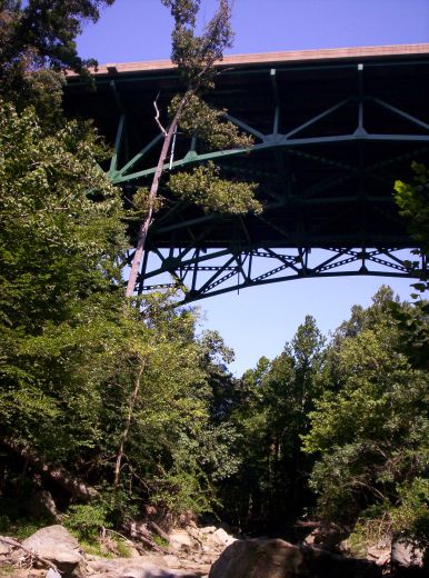
 | As part of highway I-495 (the Beltway ring road around Washington DC) this eight-lane bridge carries more than 200,000 cars and trucks daily. It arches high above Northwest Branch Trail, a stream-side path that I occasionally jog along. The span has the same steel deck truss design as the Minneapolis I-35W structure that recently collapsed into the Mississippi River. |
| Yesterday I ran downstream beside Northwest Branch and took photos of the bridge. On 1 Oct 2005 I carried a GPS with me and captured its coordinates for my collection. Here's a Google map/image: 39:01:03N 76:59:39W. | 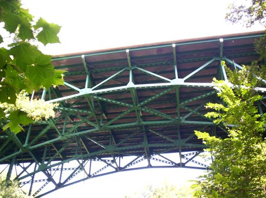 |
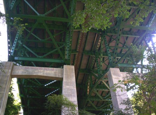 | From below the bridge an enigmatic graffiti is faintly visible on top of the northern concrete beam. It reads: "VIRGINIA MARRY ME JACK A/D". Hmmmm! |
TopicPersonalHistory - TopicScience - TopicRunning - TopicHumor - 2007-08-12
(correlates: 2007-09-02 - AT Out-and-Back, WidthIllusions, UnfortunateBillboard, ...)